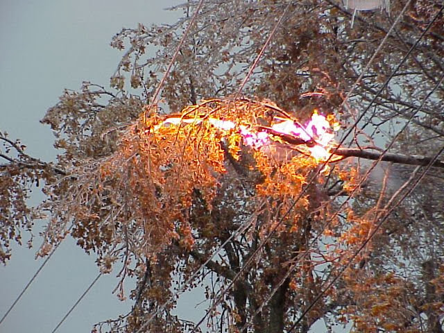
Rufe's Weather Outlook Update: Word is that this storm could be as bad as (or worse than) the Ice Storm of ’98. Lets hope not…..
Weather Update
12/20/13 6:30AM
First minor rain/snowfall:
Snow
will develop Rangeley to Lincoln shortly with several inches by dusk. Light rain
will blossom a bit later throughout the remainder of the service area; freezing
for a few hours north of Fryeburg to Newport amounting to 1/10” if that. Winds
will be light. Precipitation will wane at night as the freezing line settles
south.
The Main Event:
The rain
begins in earnest between 2-4PM tomorrow, the freezing line draped from
Fryeburg, Auburn to Bucksport, icing north of that. Snow will fall Rangeley
north. The freezing line will settle south to Lebanon, and Route One by dawn
Sunday, to slowly retreat north during the day. The heaviest precipitation will
occur 6AM -2PM, ending by midnight Sunday. Expect 1.2”-1.7” melted water
equivalent, most north. If all ice, very serious: more sleet north, and more
liquid south. The zone throughout the western interior to Bangor is very much
threatened. The ice/snow demarcation will be situated from Jackman to Lincoln.
6”-12” of wet snow/sleet is likely in that corridor. Extensive icing is likely
farther south to Fryeburg to Augusta to Bucksport, potential of 1/2” to 1”. Up
to one half inch of ice is possible farther south to the Sebago Basin, Auburn
and Camden. The coast will be spared. River flooding possible if ice jams form.
Fortunately the inversion will be deep, preventing northerly gusts
from exceeding 20 mph inland. Thawing temps for all but the far north will be
followed by a hard freeze Monday night through at least Christmas.
With such a tight thermal gradient there is much leeway for
error.
The rest of
New England will receive significant rain, no
wind.
![[Most Recent Quotes from www.kitco.com]](http://www.kitconet.com/images/sp_en_8.gif)


No comments:
Post a Comment